Measure any property
from satellite.
Trace the lawn over high-resolution satellite imagery, get instant square footage and acreage, and attach the measurement to the customer or quote — all in under sixty seconds.
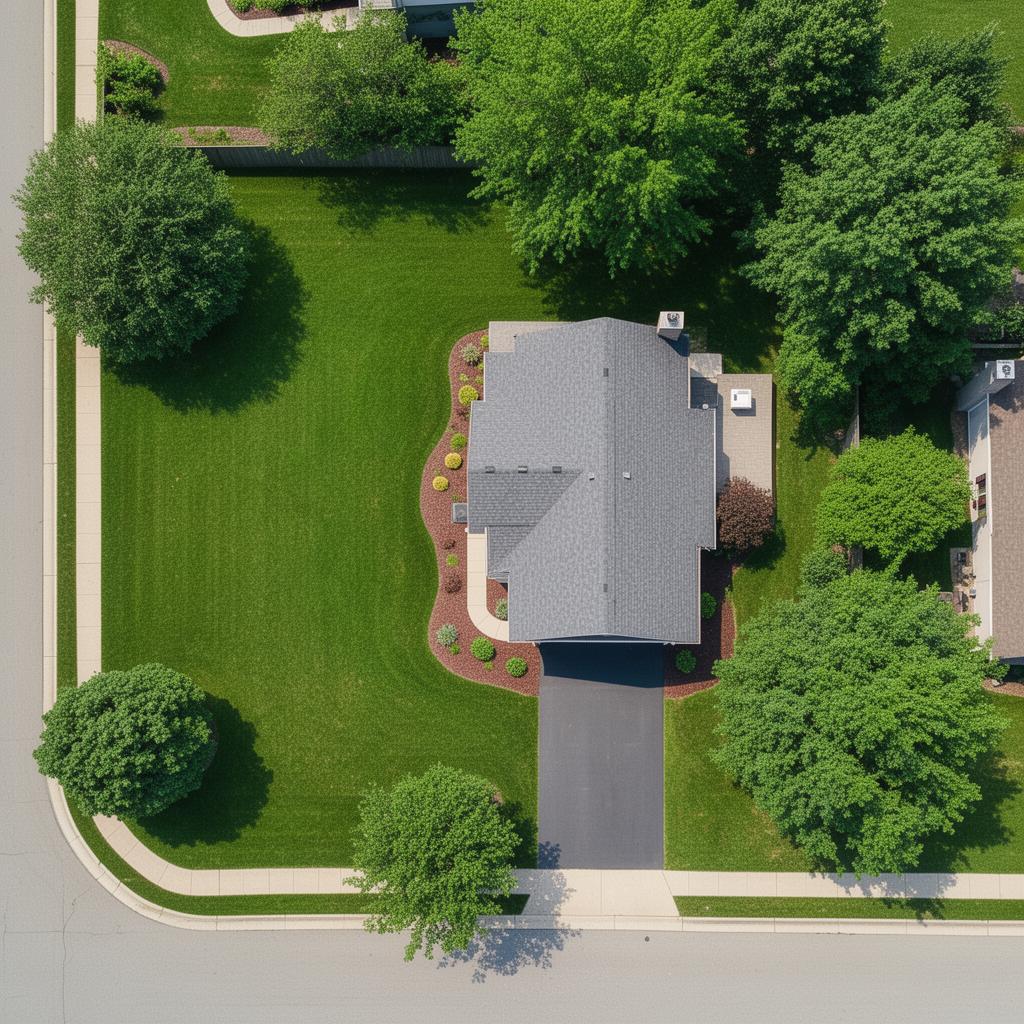
Illustrative preview — actual TurfTrace uses live high-resolution satellite imagery inside the Verdis app.
60-second measurements
Bid properties without leaving the office. Save the windshield time for paid jobs.
Real square footage
Every quote backed by a measured area — not a guess off Google Earth.
Always saved
The polygon and the totals stay on the customer record forever. Re-open and edit anytime.
Everything you need to measure & quote.
Built into Verdis — so the measurement isn't a separate tool, it's part of the workflow.
Draw to Measure
Click points around the lawn, double-click to finish. The polygon snaps to your trace and the area calculates instantly in square feet and acres.
Multi-Shape Totals
Front yard, back yard, side strip — draw each one and TurfTrace sums them. One total that reflects the actual serviceable area of the whole property.
Address Auto-Locate
TurfTrace centers on the customer's address automatically — no scrolling across the country looking for the right neighborhood.
Flows Into Quotes
The square footage and acreage carry over to your quotes and jobs, so every estimate is backed by a real measurement instead of a guess.
Saved on the Record
Measurements and the polygon you drew save to the customer and the job. Re-open any property later and edit the trace in one click.
Works in the Truck
Fully responsive and touch-friendly. Measure a property from your phone at the curb before you ever knock on the door.
Three steps. One measurement.
Search the address
TurfTrace centers on the customer's property automatically — or type any address.
Trace the lawn
Click around the perimeter. Double-click to close the shape. Draw extra polygons for separate areas.
Use the measurement
Square footage and acreage attach to the customer and flow into your next quote.
Built for real landscaping work
Use TurfTrace for any service priced by area.
Plan Availability
TurfTrace is included on every Verdis plan at no extra cost — measure as many properties as you want.
See pricing detailsTurfTrace FAQs
Ready to grow?
Modern quoting, scheduling, and invoicing for landscape crews.
14-day free trial · Setup in 30 seconds · Cancel anytime